Watching the tropics is the big story of the day today. Some thunderstorms are possible here in CT this afternoon- not severe by any means, but don't be shocked by an isolated rumble or two as we head through the afternoon and evening hours. The weekend's big stories will be 1- the remnants of Hurricane Harvey on Sunday, but that shouldn't be too big of a deal...2- A beautiful Labor Day...and 3- Near record lows tomorrow night- we will likely be in the mid 40s, and the record low of 43 is reachable for the Hartford area...we shall see.
Unfortunately, everything may take a backseat over the coming days to what will be Major Hurricane Irma and her progress across the Atlantic basin. The storm has an eye feature this morning and will almost certainly attain hurricane status at 11 AM. Models are extremely aggressive on developing this one, and many make this a category 5 either in or just north of the Caribbean. My thoughts regarding the path have not changed since yesterday, but I am concerned that a high pressure system in the central Atlantic could block a recurve. A decent analog to start with would be 2003's Hurricane Isabel, which obtained Category 5 intensity north of the Caribbean before clobbering North Carolina as a category 2 after it traveled the entire Atlantic ocean.
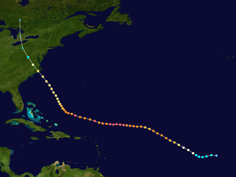
^^^Path of Isabel 2003. Irma could take a similar path at a similar intensity
That said, don't pay it much heed for now- any impacts on our weather here in CT would be well over a week away. In five days, it will be approaching the Antilles. Plenty of time to watch this one, and I will be doing so.
Lastly, I have created a twitter account, my handle is @stevectweather. Feel free to follow me there for more Irma stuff and general weather stuff, especially as we head into the snowy season here in New England.
No comments:
Post a Comment